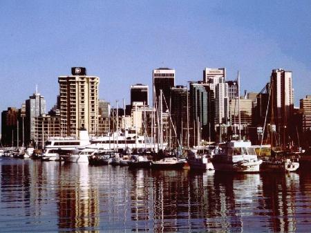
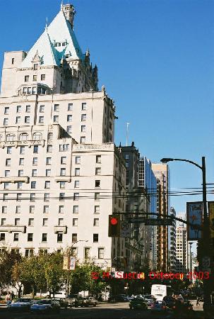
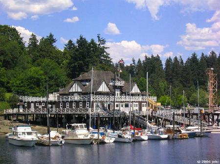
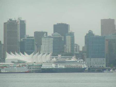
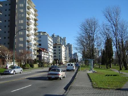
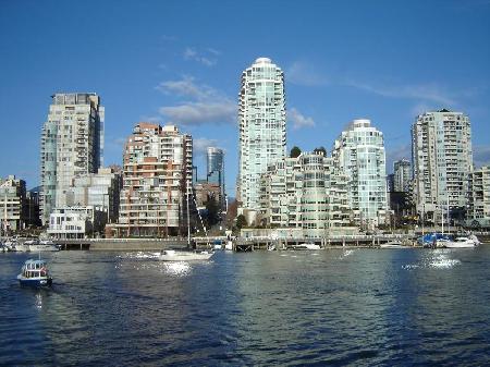
Vancouver Snow Storm
North Vancouver 29th St
Bike
Vancouver Fall
Looking south from W 49th Ave & West Blvd • ทิวทัศน์ตามป้ายรถเมล์ • 公交車站街景
Its soooooo, cold for these poor salmon!
Vancouver from the air
Sunset in Vancouver
Spanish Banks at Low Tide
Boardwalk along the Fraser River, Vancouver
164 Vancouver, Siwash Rock, Strait of Georgia
BC Totum
Looking East, North-East, Downtown Vancouver on the Left. (Jan 19th, 2008)
Chinese Lions
Lone Caboose ~ CP 434550
fantastic four
Mount Pleasant outdoor pool (2003)
UBC: Live in a moss paradise
engrossed in battle
The street has a carpet.
Sulphur depot, Coal Harbour
You could even say it glows!
Travel-lift at Mosquito Creek, Nawitka in slings
Renfrew station at dawn
cross
Burrard Inlet & North Vancouver from Point Grey
Experimental Weed Control Program
Bog in Richmond (looking North)
Grain Terminal, North Vancouver
温满队活动场地
Rapid Transit service to YVR, coming soon
Fraser River, Vancouver and English Bay, just after takeoff, YVR
BC Children's Hospital Research Centre
Mitchell School, Richmond (1908-2008)
Zip and Jazz
walking on water...low tide at Iona Beach,Richmond,B.C. Canada
Signs of the times
Lions Gate Bridge
Vancouver International Airport
Snowy Spruce, Vancouver, BC, Canada
温哥华远眺
Lion Sculpture in Richmond
German restaurant
Vancouver Kidsbooks store, day before HP7
Vancouver BC
2739 Willoughby Road
754 Eyremount Drive
4668 West 6th Avenue
Photos provided by Panoramio. Photos are under the copyright of their owners.