Eaststreet and End of Canal (to North)

Street View (East Bank Public Road) to North

Canal (Merry gold street) to South

Street View to East

Street view (Oronoque street) to North

Street View (Demerara Harbour Bridge) to West

Street View (East Bank Public Road) to North

Mercy hospital

Guyana Geology and Mines Commission (G.G.M.C.)

Street View (Duncan Street) to West

StreetView(Camp St.) to North

Street View (East Bank Public Road) to North

Street View (Duncan Street) to West

Canal (Dennis Street) to East

Street view (Crown street) to East

Streetview (RegentStreet) to West

Botanical Gardens (to West)

Street view (Third Street) to East

Sea wall (to East)

Street View (East Coast Highway) to West

Canal to East

Canal to East

President Jagdeo's house

Street view (Middleton Street) to North

Street view (Holmes street) to East

Canal (to East)

Street View (Demerara Harbour Bridge) to East

Street view (Republic street) to North

Botanical Gardens (to West)

Canal to South

Street View (Main Street) to South

Canal (Tomasroad-DrJBLachmansinghRoad) toNorth

Eaststreet and Canal (to North)

Sea Wall (top embankment structure) to East

Street view (Water street) to South

Street view (Anira Street) to East

Canal to West

Flying Fish Street, North Ruimveldt

Street view (Middle Walk Dam) to South

Mittleholzer Street. (Festival City, Exit)

Sea Wall (top embankment structure) to East

Sea wall (top embankment structure) to West

Street view (Campbell Avenue) to East

Street view (Old Railroad Line) to NorthEast

Street view (Middle Walk Dam) to South

Sea Wall (top embankment structure) to East

DennisStreet and Canal (to East)
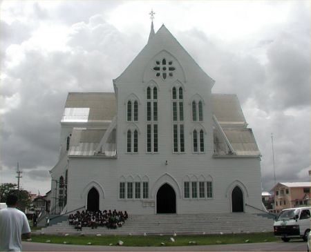
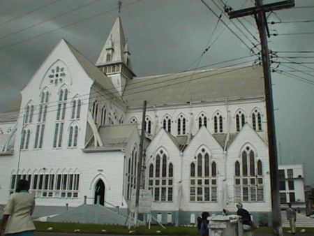
Photos provided by Panoramio. Photos are under the copyright of their owners.