Kolonia Bay

Satellite Dish, FSM Telecom

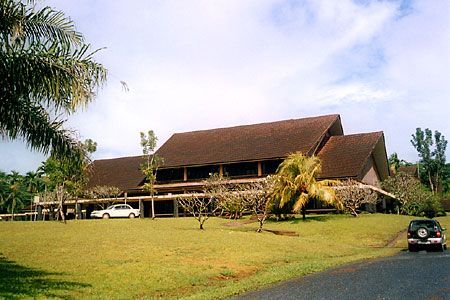
Palikir, Capital Buildings

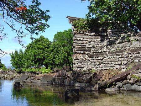
View from close to the former "Village"

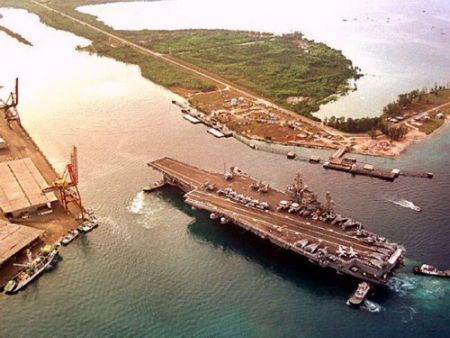
Pohnpei International Airport

Abandoned Ships

View from "Cupid's Bar and Grille"

sunset oceanic side

Rainforest

Sekere (between Kolonia and Palikir)

Right turn to the Capital

View in Nett

Near the former "Village"

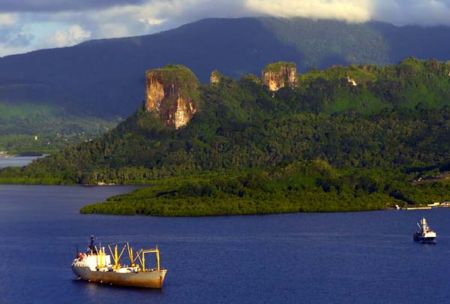
Sokehs Rock

Takaieu (Dehpehk) Island, view Southeast

Puswan Malik

Sokehs Rock at Sunset

Nett, on the way to Liduduhnlap Waterfalls

Sunset in Nett

View in Madolenihmw, close to Uh ...

Pohnpei Approach

Takaieu (Dehpehk) Island

Near Pahntakai Waterfall in UH

View of Pohnpei east of Mwand

Sokehs Rock, seen from Parempei

Acropora walindii. Micronesia. Branch detail. Photograph: Pat Colin.

Halomitra clavator. Micronesia. Forming plates. Photograph: Gustav Paulay.

Pahntakai Waterfall

Sokehs Rock, Northside of Sokehs Rock, seen from the Plane approaching Pohnpei

Northshore of Pohnpei, seen from the Plane approaching Pohnpei

Acropora walindii. Micronesia. Flattened branches in deep water. Photograph: Pat Colin.

Northside of Pohnpei, seen from the Plane approaching Pohnpei

Northside of Pohnpei, seen from the Plane approaching Pohnpei

Sokehs Island, seen from Nihco Marine Park

Uh ("The Village"), seen from the Water

Pohnpei (Sokehs Rock) seen from the Water

Chinese Junk Boats - Pohnpei

Dramatic Sky over Uh

Dramatic Sky over Pohnpei

Main Road in Kitti

Street View in Nanpohnmal

Fishing boats, Pohnpei, Micronesia

Sakau in Madolenihmw

Sokeh’s Rock – Pohnpei

Pohnpei

Liduhduhniap waterfall, Nett

Nett U border area from water

LDS Sapwalap Chapel
Photos provided by Panoramio. Photos are under the copyright of their owners.