Eastbourne & Bays from Pt Howard

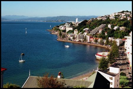
Te Whanganui-a-Tara - Port Nicholson - Wellington Harbour

Korokoro Dam

Strange shaped lifeform near track to Boulder Hill (set phasers to stun)

Pauatahanui Inlet- 25th April 2012- Photo by Matt SHirley

Upper Hutt & Ranges from Dry Creek Loop Walk, Belmont Regional Park

Brookfield Camp - Smiths Camp Track

South of Melling Bridge

Track Split on Dry Creek Loop Walk, Belmont Regional Park

Playground Bridge, Whitby Walkway

Track Split on Dry Creek Loop and Puke Ariki Traverse Walks.

Calm Morning At Browns Bay

Pauatahanui Inlet

28 Tui Street

Track split on Puke Ariki Traverse

Windmill in Porirua, NZ

Missile Launch Site

Trentham Memorial Park, Upper Hutt, New Zealand

Wellington Heads from Sunshine Bay

Wellington Harbour as seen from the Western Hills of the Hutt Valley

Paremata Boatsheds from Ivey Bay

Hutt Central School, Lower Hutt, Wellington

Hutt River

Hutt River, Lower Hutt, New Zealand

Somes Island

Paradise duck at Pauatahanui wetlands

waka ama Porirua Harbour

Afternoon Sun

William Golder - Approx. location of Mountain Home - photo early 1900's

Panorama from Brown's Bay

belmont

Moonlight from Onepoto over Police College

East Whitby from Crowsnest Lookout (2007)

Pine Trees above River Road Upper Hutt

Onehunga Bay, Whiterea Park

Tihati Bay_1

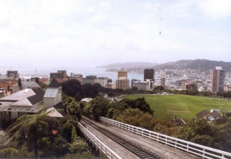
Panorama of Wellington seen from Petone (Weltec Campus)

Dry Creek Loop Track - Across to Boulder Hill

The Haywards

Upper Hutt

View up Moores Valley from Mt Crowther

Pauatahanui Inlet reflections

Korokoro Stream

Snow on the Tararua Range, taken from Avalon

Eastern Whitby from near Crowsnest Lookout (2003)
Photos provided by Panoramio. Photos are under the copyright of their owners.