Beaufort County Havaalanı (BFT)

havaalanı hakkında bilgi - Beaufort County Havaalanı, Amerika Birleşik Devletleri (ABD)

Açıklama değer
IATA
(Uluslararası Hava Taşımacılığı Birliği havaalanı kodu)
BFT
tip küçük havaalanı
Yerel havaalanı kodu ARW
GPS havaalanı kodu KARW
Boylam 32.4122009277
Enlem -80.6343994141

Şehirler yakın Beaufort County Havaalanı, Amerika Birleşik Devletleri (ABD)

Şehir ülke Mesafe (km)
Savannah, GA 58.47 km

yakın Resimleri Beaufort County Havaalanı, Amerika Birleşik Devletleri (ABD)
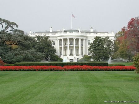
During the Colonial period, chapels of ease were constructed by rice and cotton planters as houses of worship because their plantations were located so far from the churches in Beaufort. This tabby walled church was constructed between 1742 and 1747 for the planters of St. Helena Island. A forest fire destroyed most of it in 1886. All that remain today are its tabby ruins and an adjacent cemetery. Beaufort, S.C. on the ICW Marine Corps Recruit Depot - Parris Island, SC Smiling Alligator John A. Cuthbert House ("Cuthbert House Inn") 1203 Bay Street Beaufort, SC
 
The Big Chill house(side view) Fishing boats near Eddings Point, SC MCRD Parris Island, SC  Beaufort, South Carolina Sweetgrass Restaurant 31-5-11
 
Hilton Garden Inn,  Beaufort, South Carolina Burton, Beaufort County, South Carolina Cat Island Backyard, 1616 Riverside Drive Shrimp Boats at 11 Dockside
 
Parris Island, SC Unknown-Distance Rifle Range, Parris Island, S.C. Recruits at range 11/2007 mals-31 barracks mcas beaufort,sc 2012, Beaufort, SC - on the river
 

Resimleri Beaufort County Havaalanı