Chevron Yeri Heliport

havaalanı hakkında bilgi - Chevron Yeri Heliport, Amerika Birleşik Devletleri (ABD)

Açıklama değer
IATA
(Uluslararası Hava Taşımacılığı Birliği havaalanı kodu)
Hayır IATA kod
tip helikopter pisti
Yerel havaalanı kodu 48LA
GPS havaalanı kodu 48LA
Boylam 29.9529991149902
Enlem -90.0730972290039

Şehirler yakın Chevron Yeri Heliport, Amerika Birleşik Devletleri (ABD)

Şehir ülke Mesafe (km)
New Orleans, LA 0.67 km

yakın Resimleri Chevron Yeri Heliport, Amerika Birleşik Devletleri (ABD)
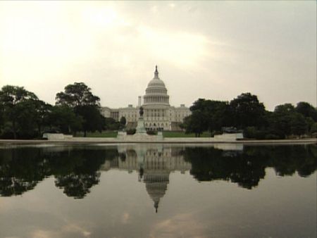
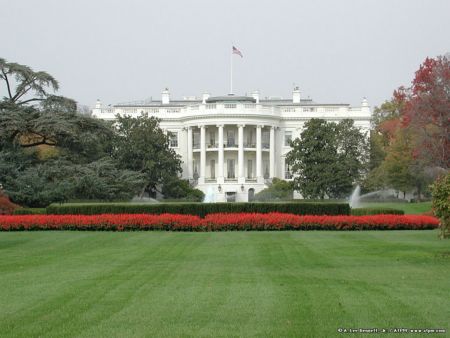
On 'Frenchmen' in New Orleans 'Satchmo', that bald guy with the trumpet, so good, that they named the whole state after him! The "Boanes" House - YOU ARE BEAUTIFUL! NewOrleansFrenchQ0606PJA_0544l New Orleans from steamboat
 
Inner Harbor Navigation Canal Forstall Street Outfall Bywater Historic District. New Orleans. Post-Katrina, the décor of the Saturn Bar has changed, but it is still eclectic, with lots of original artwork, neon signs and memorabilia. Pratt Dr. next to the London Avenue Canal in  New Orleans, Louisiana after Hurricane Katrina.  (June 2006)
 
Lakefront Airport North of New Orleans LA Sam's Club on I-10 between Read Blvd and Crowder Blvd in New Orleans, Louisiana after Hurricane Katrina  (June 2006) 4717 S. Robertson St., New Orleans, Louisiana. Antoine's Louisiana Creole cuisine restaurant located at 713 rue St. Louis (St. Louis Street) in the French Quarter of New Orleans, Louisiana. Line'n Of The Storm
 
New concrete stem wall, near Surekote Road, Lower Ninth Ward 5120.1Montegut 1822 - 1824 Schnell Drive 1855 Port Ponchartrain Lighthouse, once was 2100 feet off shore, Milneburg (12-29-2011)
 

Resimleri Chevron Yeri Heliport