Galbraith Lake Airport (GBH)
havaalanı hakkında bilgi - Galbraith Lake Airport, Amerika Birleşik Devletleri (ABD)
|
yakın Resimleri Galbraith Lake Airport, Amerika Birleşik Devletleri (ABD)


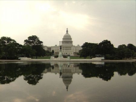
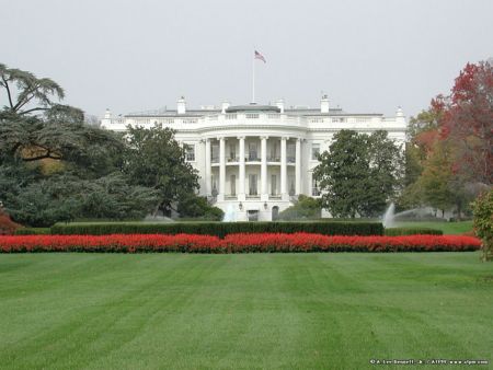
bilgilendirici malzemeler - Washington DC
bilgilendirici malzemeler - Amerika Birleşik Devletleri (ABD)
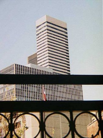
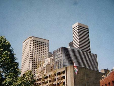
fotoğraf Galerisi
Amerika Birleşik Devletleri (ABD), Washington DC