The BEST viewpoint spot atop 7-Mile Hill

New Lyle Trailhead (May 2011)

Devil's Hole overlooking Doug's Beach windsurfers

Seven-mile hill looking past bearing tree to Chenowith Bench

Coyote Wall, showing the area of the "Little Moab" rim trail, the "Wizard" trail, and the lower "Coyote Cliffs" trail

Spring Wildflowers - Rowena, Oregon

Sunrise up the Columbia River. Photo taken above The Dalles

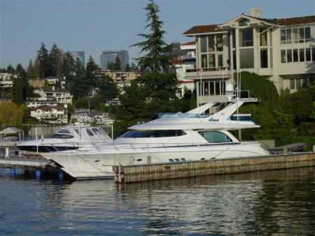
COLUMBIA RIVER. VIEW FROM WASHINGTON STATE RIVERSIDE.

Klickitat River narrows, as seen from the Fisher Hill bridge

Mosier Twin Tunnels trailhead & sign

Klickitat falls and new fish ladder complex (5/11)

COLUMBIA RIVER. VIEW FROM WASHINGTON STATE RIVERSIDE.

"LYLE" sign on the hillside above town

Underneath Catherine Creek arch

Last waterfall on Lil Maui Stream

Lyle Bluffs and the Convict Road grade

Catherine Creek was once a junkyard.....click for more...

Pano of Coyote Wall/ Labyrinth area

Masonry remnants of Sam Hill's 1912 Convict road

The Lyle Convict Rd above the Hwy 14 tunnel

Lyle Bluffs, 1910 Convict Road area

Junction of old (left) Labyrinth trail and new (right) trail. The left fork is slated for removal.

Winery and ghosts

Spires of Devil's Hole

Pano of the Devil's Hole flood-ravaged ridges

Late April is best!!

Lil Maui's trail-crossing creek

Lupines, Balsamroot...and nobody else!!

Rowland Lake

"LYLE" letters--12-feet high!

Cherry Orchard sign and Friends of the Gorge sign-in

Indian Pits trail parking (unsigned)

Old Atwood Rd creek bridge

Early May, just past the best wildflower bloom on the Memaloose Hills

April !!!!!!!!!

Looking up Coyote Wall from the top of the Little Moab trail

Upper "Syncline" road

A view of the Catherine Creek arch

Klickitat River mouth, Columbia River at Lyle

Memaloose Island

Autumn views on the Syncline Rd

Cherry tree overlooking a smoky The Dalles

Culvert beginning of Devil's Hole loop route

Pits along Indian Pits trail

Sen. Hatfield HCRH trailhead parking

Memaloose Hill from Marsh Rd (1st week of May)

Yellowed Balsamroot hillsides (Late April)

The "Syncline" road
Photos provided by Panoramio. Photos are under the copyright of their owners.