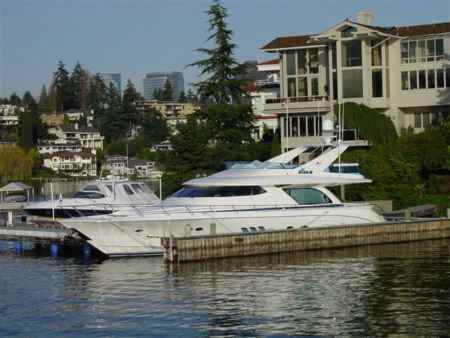
Tramway

Near Sacramento International

Natomas Middle School

Near Sacramento International

Golden Years

Sacamento Metropolitan Airport

Sacramento International Airport

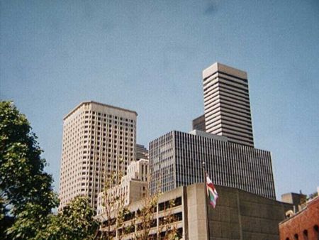
DOWNTOWN

Regency Community Park

Regency Community Park

Sacramento International Airport Parking Structure

Granite Point...its not just a dirt patch.

Looking northeast from Westlake Community Park

Terminal B - Sacramento Airport

Sacramento River Sunset

Time to Leave

Rodger's Super Cub at Elverta

Sunset over the river

Sacramento Intl Airport

MynTahl Corp.

North Sacramento Subdivision

Central Warehouse

Pump House

Sacramento Sunset

Spring Clouds

Sacramento

Sacramento River in Morning

Park Place Shopping Center, Natomas

foggy dawn traffic on I-80 trestle over Yolo Bypass, from Old Woodland Highway (natural color!) #2

Yolo Bypass Tracks

Sunset at Sacramento International Airport

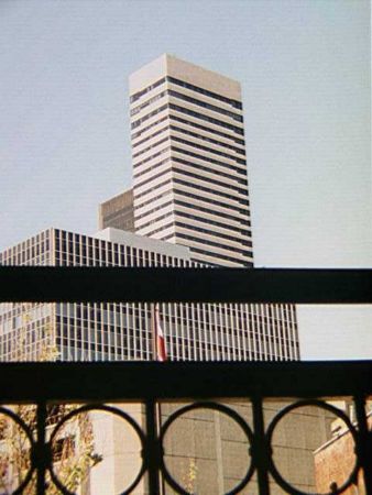
URBAN RISE

SMF/Sacramento Airport

Pond at North Park and Natomas Blvd

SMF/Sacramento Airport

Sacramento International Airport Gate A17

Panorama of water channel and railroad bridge off of E. Main St. (looking north @ center)

180º Panoramic view of fields at the end of country road 118 in Yolo county (looking east @ center)

Panoramic view of E. Main St (Old River Rd) as seen from near the I-5 bridge over Sacramento river (looking northwest @ center)

I-5 bridge over Sacramento River (looking east/north east)

Long trestle across Yolo Bypass

FALL 2012 SACRAMENTO

Soft Morning
Photos provided by Panoramio. Photos are under the copyright of their owners.