Tooele Ordu Depo / Güney Bölge / Heliport

havaalanı hakkında bilgi - Tooele Ordu Depo / Güney Bölge / Heliport, Amerika Birleşik Devletleri (ABD)

Açıklama değer
IATA
(Uluslararası Hava Taşımacılığı Birliği havaalanı kodu)
Hayır IATA kod
tip helikopter pisti
Yerel havaalanı kodu UT46
GPS havaalanı kodu UT46
Boylam 40.3174018859863
Enlem -112.30899810791

Şehirler yakın Tooele Ordu Depo / Güney Bölge / Heliport, Amerika Birleşik Devletleri (ABD)

Şehir ülke Mesafe (km)
Tuz Gölü şehri 60.66 km

yakın Resimleri Tooele Ordu Depo / Güney Bölge / Heliport, Amerika Birleşik Devletleri (ABD)
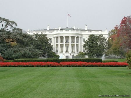
Ophir Mercur jacob city mining ruins Mine Adit near Mercur Canyon Ophir Creek - Looking Downstream
 
Oquirrh Mountains near Ophir Dry Canyon - Cliffs along the canyon walls Stormclouds over the Oquirrh Mountains Dry Canyon - Late evening view... Dry Canyon & area where Jacob City was located.
 
Mine Adit near the mouth of Dry Canyon Cliffs on north wall of Mercur Canyon Oquirrh Mtns. from SR-36 south of Penny's Into the "Buffalo Mine" - this is private property and is being preserved by Mojave Underground Highway 73 approaching Rush Valley and Deseret Peak
 
Lion Hill ATV Trail Fall Colors Deseret Peak Wilderness Area from Oquirrh Mountains Looking south across the mouth of Ophir Canyon Deseret Peak from the mouth of Mercur Canyon Collapsing History at Mouth of Ophir Canyon
 

Resimleri Tooele Ordu Depo / Güney Bölge / Heliport