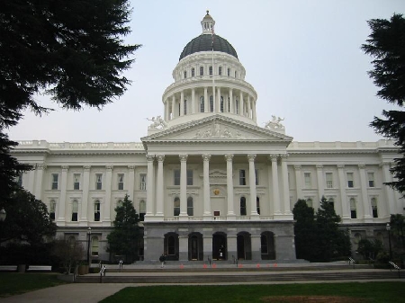
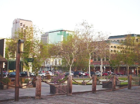
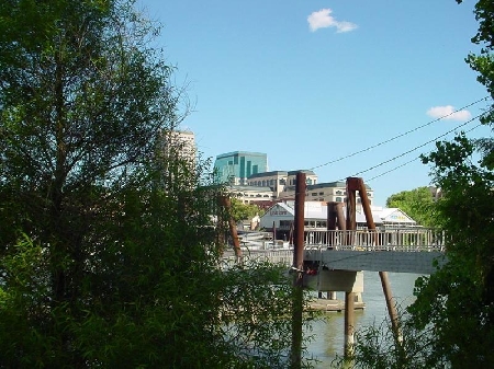
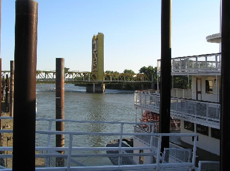
Aerial Image of Sacramento, including Raley Field
Ziggurat Bldg, Tower Bridge & Old Sacramento Aerial Image
Time to Leave
Near Sacramento 905
Sunflowers
Sac State in the Fall-Solar Panels
Abandoned Ship, Port of Sacramento, West Sacramento
Sactown Home
Waterfront Old Sacramento
Bowling Neon Sign , Del Paso Blvd. Sacramento, CA
Sacramento River, Marina
Sacramento Old Building
Sacramento Rodeway Inn
Aerial Image of Tower Bridge and Old Sacramento, Fall of 2004
The Cheap Cigarette Store - with a DRIVE THRU!!
Whole House
California Secretary of State after dark
Tree along the American River Bike Trail
elvas train
17972996.jpg
American River with Sacramento in the distance
8th and Q St.
смотри ,что наша любовь дала нам...
sacramento ca 80 fw san Francisco ca
Villagio Apartments
Capitool van Sacramento
Land Park Pond
Loading Dock, California Office of State Publishing
Shriners Hospital
30951141.jpg
solar power lines
old spaghetti factory
Paradise Beach
A&P Liquor 21st & Kst
Florin Creek
Sacramento, CA
Discovery Park, Sacramento, CA
Power lines
American River, Looking North at J St. Bridge
Midtown Sacramento
Rafting
1227625.jpg
Shea Stadium
Sheep and The Port of Sacramento
BACK WHEN IT WAS NICE
US-50 east near15th st. exit. The oleander plants along the median were being replaced with a concrete barrier. Taken on 20 Dec 2009
House by William Land Park
24233318.jpg
Photos provided by Panoramio. Photos are under the copyright of their owners.